Historic maps
Historic maps are full of clues about life in the past!
First, orient yourself to the location of present-day Wolf Gap - on Tarpley Shop Road (also called Bunker Hill Road), near the intersection with Franklin Hayes Road (historic Pisgah Road) and the Old Stage Road.
Now, let’s see what historic maps can show us about this neighborhood over time.
1878 D.G. Beers Map
Historic 1878 Beers Map Showing the General Study Area, Bunker Hill Road, and the Wolf Gap Road. Present-day Wolf Gap outlined in red.
Notably, the Beers map did not include any African-American homes or businesses, as it was an insurance map for a white-only insurance company.
Note the historic path of Bunker Hill Road, which ran through present-day Wolf Gap, in keeping with historic practices of establishing roads along dry ridgelines instead of thick and wet bottom land. Tarpley Shop Road also followed a slightly different path to make its way up a steep hill.
This map also shows a cotton gin nearby on Pisgah/Franklin Hayes Rd.
See full Beers map from TN State Archives at this link.
1907 USDA Soils Map
This 1907 USDA Soils Map shows a home at present-day Wolf Gap, and also shows the nearby Center Point Missionary Baptist Church.
The small black marks indicate dwellings.
By this time, Tarpley Shop Road had straightened out to follow its present-day path.
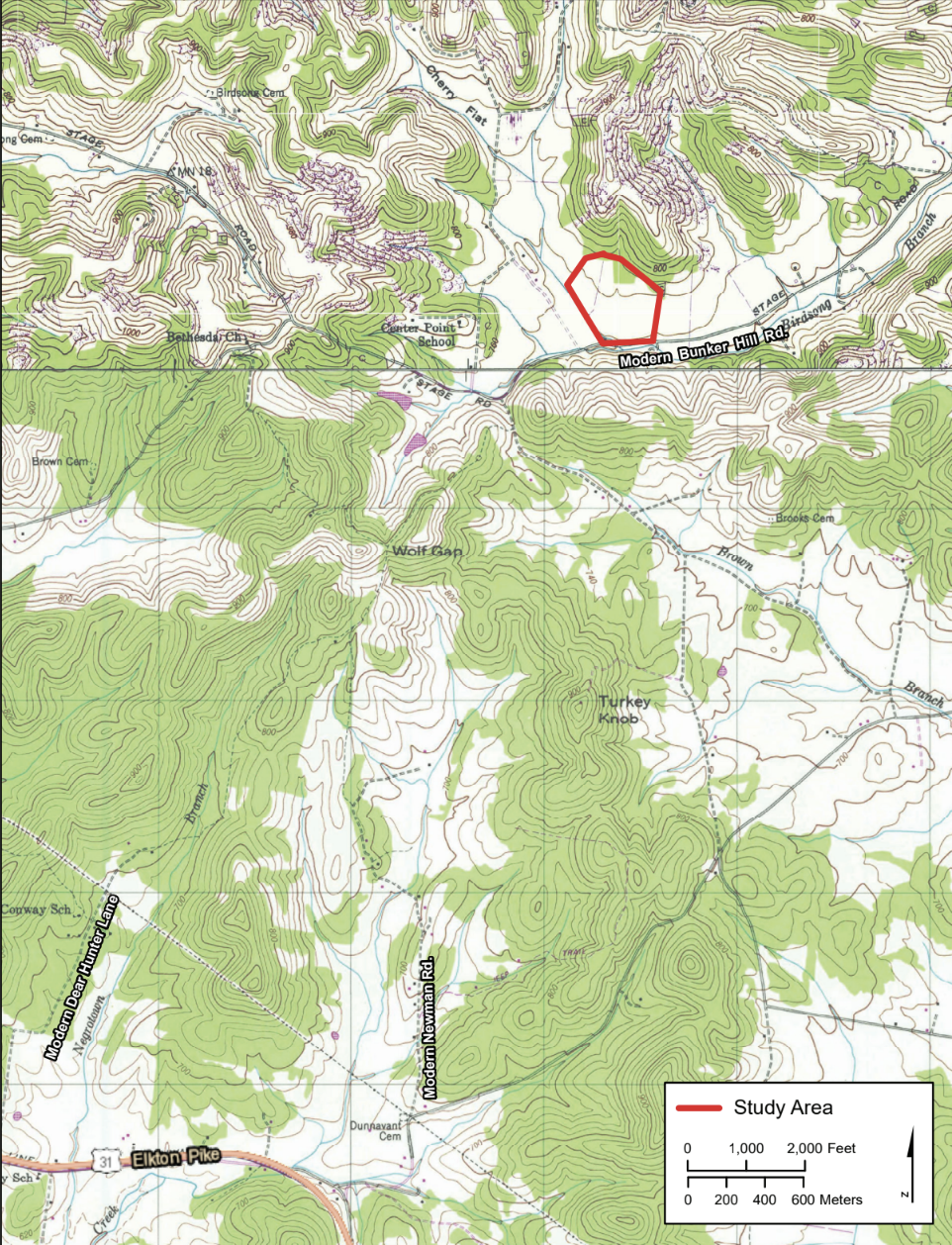
1936 USGS Topographical Map
The 1936 USGS Topographic Map
1948 USGS Topographical Map
1948 USGS Topographical Map


